
Images
Canada Pictures, Images and Stock Photos
Browse 2,265,600+ canada stock photos and images available, or search for canada map or canada flag to find more great stock photos and pictures.
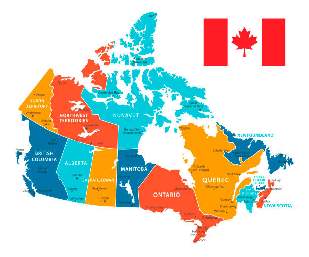
canada map
canada flag
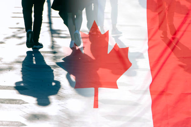
canada day
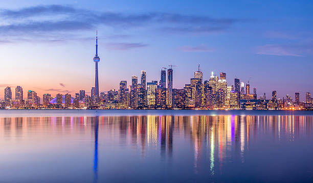
toronto
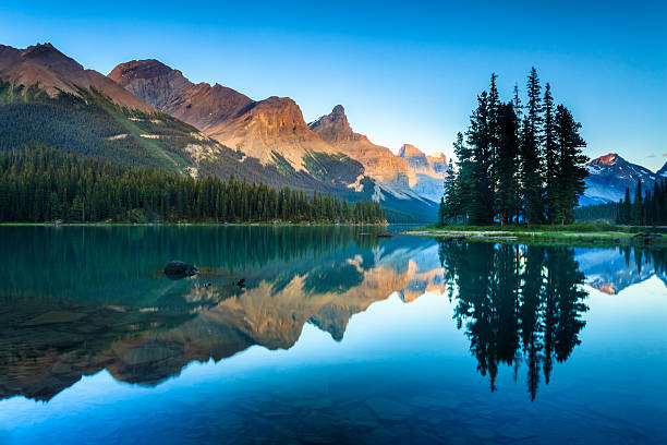
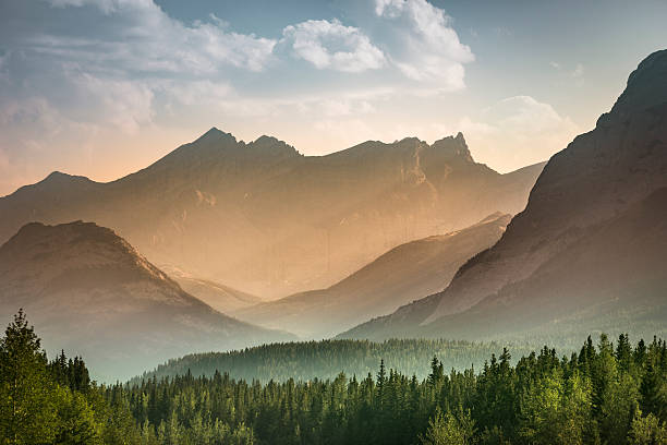
canada landscape
indigenous canada
canada icon
canada goose
canada money
ontario canada
canada skyline
alberta canada
air canada
atlantic canada
canada parliament
canada travel
canada leaf
canada summer
vancouver canada
canada post
canada border
canada winter
montreal canada
victoria canada
canada forest
western canada
canada nature
canada lake
canada mountains
canada covid
Most popular
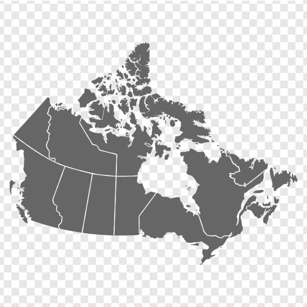
Vector isolated illustration of simplified administrative map of Canada. Borders of the provinces (regions). Grey silhouettes. White outline.
Red Maple leaf. Canadian symbol. Vector illustration.
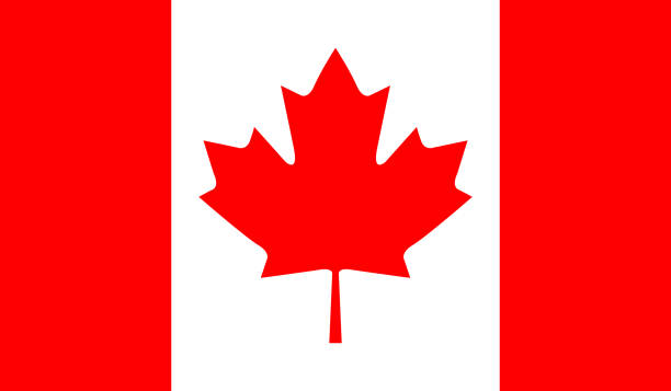
Canada national flag
vector illustration of Canada map

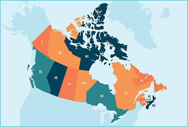
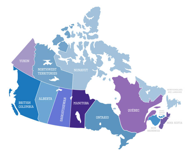
Colorful stylized vector map of Canada with labeled provinces and territory name abbreviations. All provinces and territories can be individually selected.

Vector Illustration
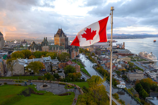
A flowing Canadian flag on a flagpole. Taken at sunset with Old Quebec City and the St. Lawrence River in the background. Aerial HDR view.
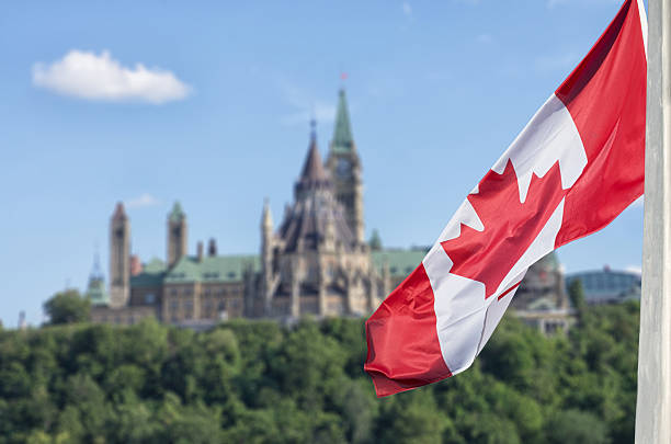
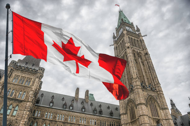
Canadian flag waving with Parliament Buildings hill and Library in the background

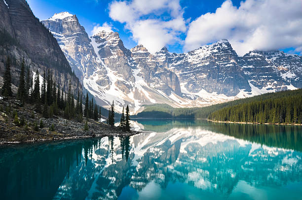
Beautiful Moraine Lake in Banff National Park, Canada. Photographed at sunrise.
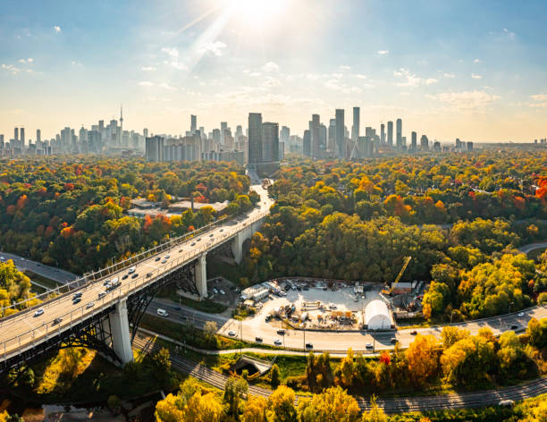
Don Valley Park and Lower Don River Trail, Toronto, Canada.
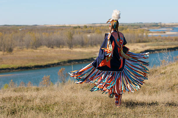
First Nations Women performing a Fancy Shawl Dance in a grass field with a river background

Black flat blank highlighted locator administrative map of the Canadian province of PRINCE EDWARD ISLAND inside gray flat map of CANADA
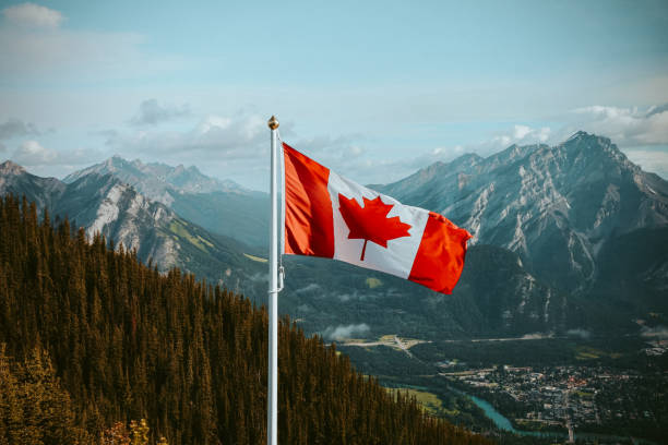
Canadian flag with mountain and small town views in summer
The world-famous Spirit Island and Maligne Lake at dusk. Jasper National Park, Alberta, Canada.
Vector Map of Canada with borders, cities and national flag. All elements are separated in editable layers
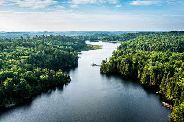
Aerial view of a lake and forest in the morning with mist over the forest in the distant horizon
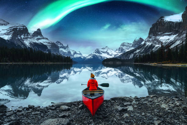
Traveler woman sitting on canoe with aurora borealis over Spirit Island in Maligne lake at Jasper national park, Alberta, Canada

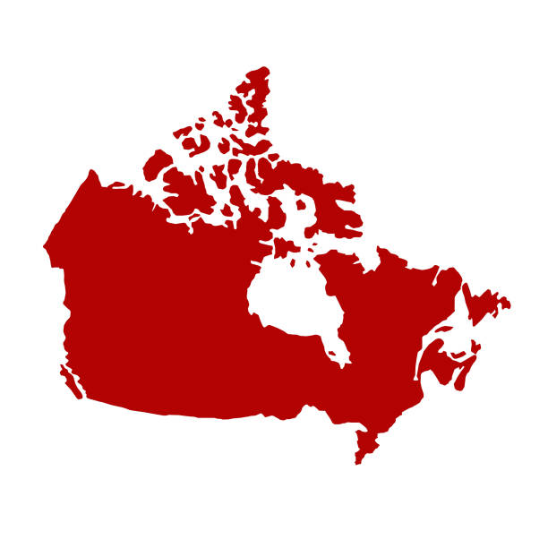
Canada dark silhouette map isolated on white background
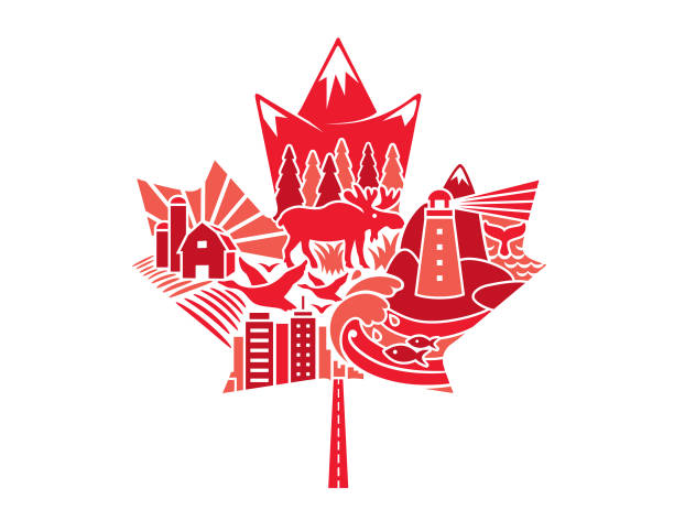
National maple leaf of Canada made up of traditional iconography
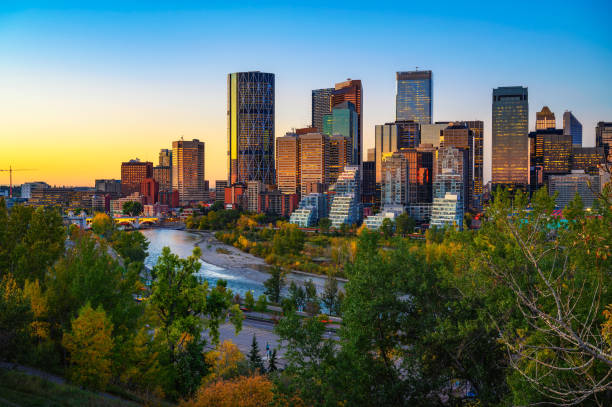
Sunset above city skyline of Calgary with Bow River, Alberta, Canada.

Happy child teenage girl waving the flag of Canada while running at sunset

Canadian side view of Niagara Falls, Horseshoe Falls and boat tour at sunset in Niagara Falls, Ontario, Canada
![Map and Flag of Canada Map and Flag of Canada. Source "World reference atlas"
[url=/search/lightbox/5890567][IMG]http://farm4.static.flickr.com/3574/3366761342_e502f57f15.jpg?v=0[/IMG][/url]
[url=/file_search.php?action=file&lightboxID=8385719][IMG]http://farm6.staticflickr.com/5209/5368284865_fa22321d18.jpg[/IMG][/url] canada stock pictures, royalty-free photos & images](https://media.istockphoto.com/id/123145415/photo/map-and-flag-of-canada.jpg?s=612x612&w=0&k=20&c=-g2k7kIYIpyrQ0bcU-6AYzOF4-98WDbLT6_cHzkH4XQ=)
Map and Flag of Canada. Source "World reference atlas" [url=/search/lightbox/5890567][IMG]http://farm4.static.flickr.com/3574/3366761342_e502f57f15.jpg?v=0[/IMG][/url] [url=/file_search.php?action=file&lightboxID=8385719][IMG]http://farm6.staticflickr.com/5209/5368284865_fa22321d18.jpg[/IMG][/url]
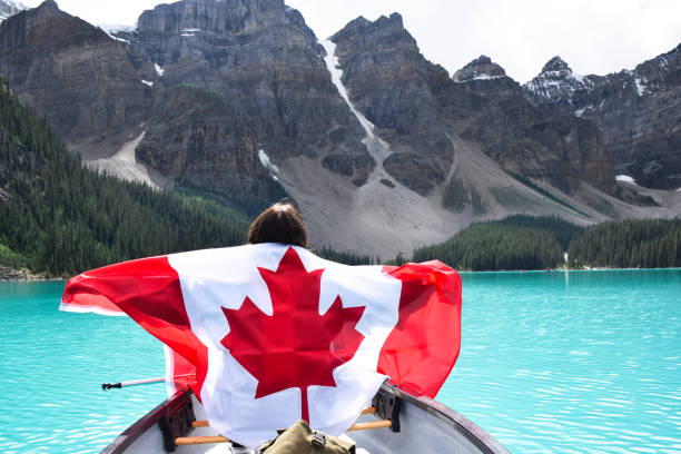
Young girl in a canoe from behind holding canadian flag spreading her arms, surrounded by turqouise blue lake Moraine and mountains
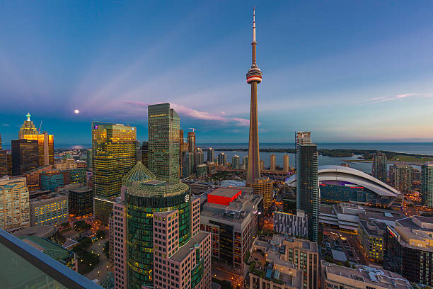
Toronto Cityscape with CN Tower and view of Lake Ontario

Canada and United States flags together realtions textile cloth fabric texture
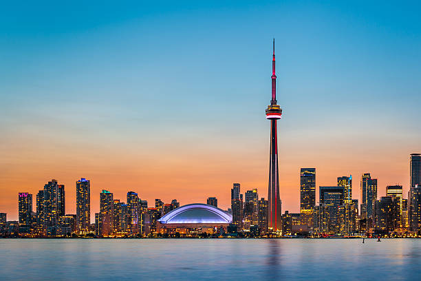
Skyline of Toronto over Ontario Lake at twilight

High resolution digital render of Canada flag.
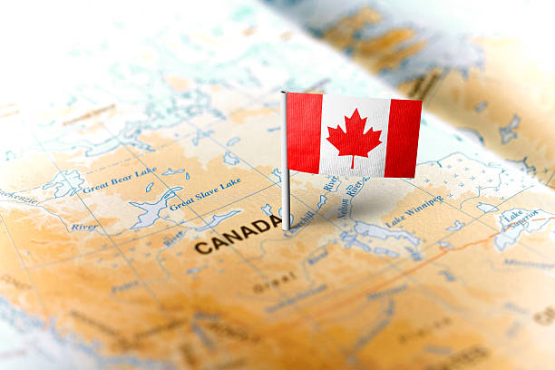
The flag of Canada pinned on the map. Horizontal orientation. Macro photography.
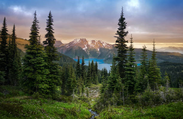
View of a mountain lake between fir trees. Mountain peaks above the lake lit by sunset rays. Canada
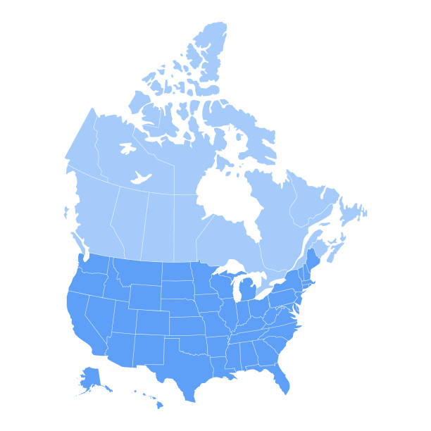
Vector illustration of the map of the United States of America and Canada in blue color and white outline.
Mist rises over the forest in Banff National Park Alberta Canada


Canada flag pole waving in the wind under beautiful blue sky and clouds wallpaper. Canadian national red maple leaf symbol.
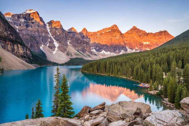
Sunrise over Moraine Lake, Banff National Park, Alberta, Canada
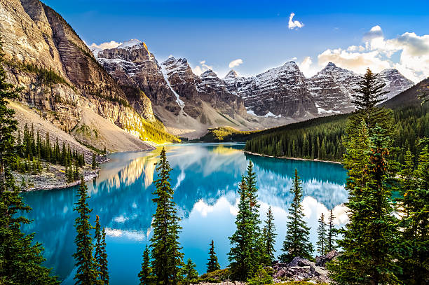
Landscape sunset view of Morain lake and mountain range, Alberta, Canada
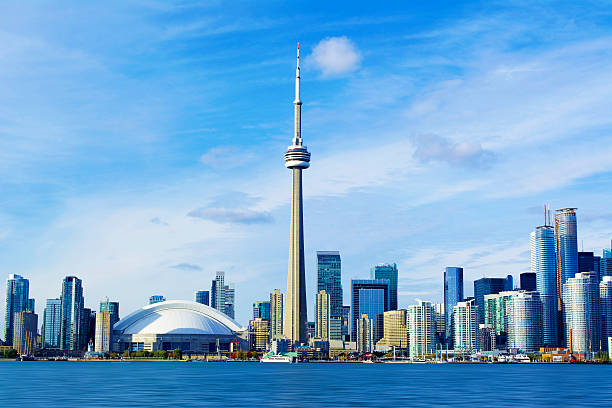
Toronto, Ontario, Canada, CN Tower Cityscape.

Canada map - highly detailed vector illustration
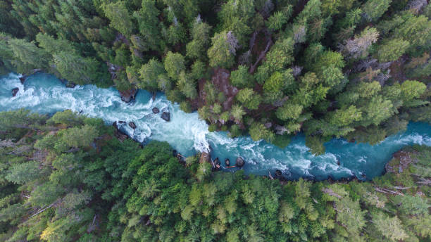
Drone view of a lush green coastal forest. Beauty in nature. Environmental conservation backgrounds. Cheakamus River in Whistler, Canada.
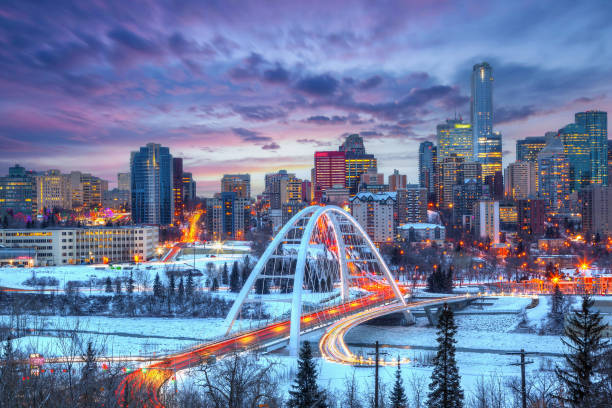
Light trails from rush hour traffic light up Edmonton downtown Winter sunset skyline showing Walterdale Bridge across the frozen, snow-covered Saskatchewan River and surrounding skyscrapers.
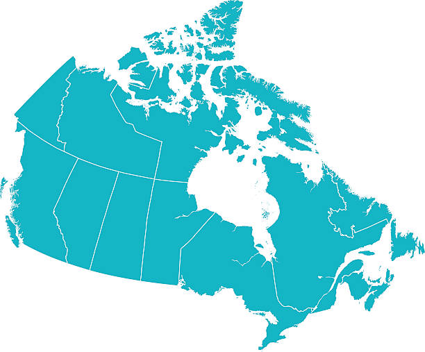
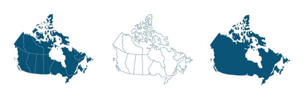
Detailed Vector map of Canada with provincial borders in white. Vector 2D Flat Map illustration Of Canada. The lines on the map divide and represent each province. This map is done as a silhouette to easily see the province border divide lines.
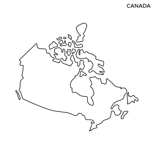
Canada Outline Map Vector Stock Illustration Design Template. Editable Stroke. Vector eps 10.
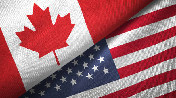
United States and Canada flag together realtions textile cloth fabric texture
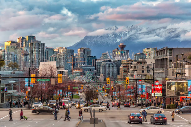
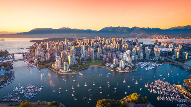
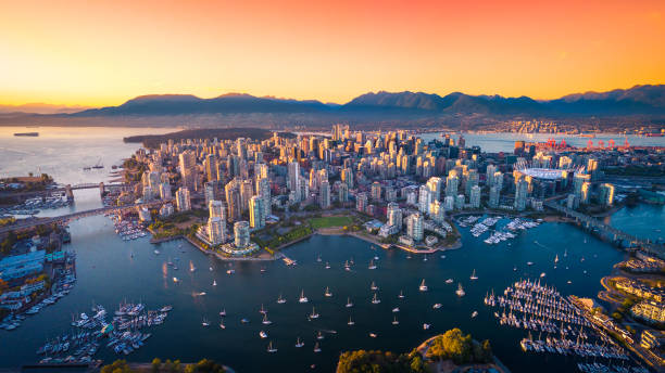
A look into the Vancouver downtown and snow mountain across the strait.
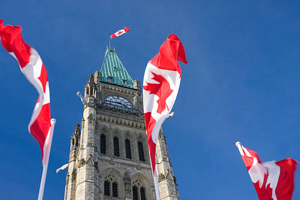
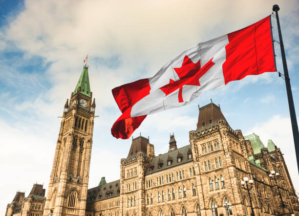
Parliament of Canada, Peace Tower, Canadian Flags, Ottawa
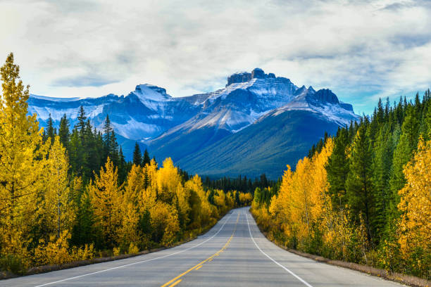
The road 93 beautiful "Icefield Parkway" in Autumn Jasper National park,Canada
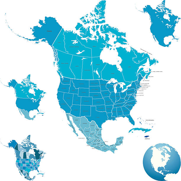
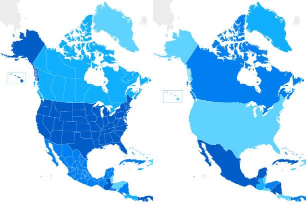
Highly detailed map of North America for your design and product.
Simple map of Canada vector drawing. Mercator projection. Filled and outline version.

Black colored North America outline map. Political north american map. Vector illustration map.
Next