Share on Facebook
 Share on X
 Share by Email
 Share on Google Classroom
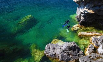
Île aux Coudres, 30 km 2 , 11 km long, 4.3 km wide, 92 m high, is situated 60 km downstream from Québec City in the ST LAWRENCE RIVER estuary. The island consists of 2 Appalachian ridges joined by an embankment.

Signing up enhances your TCE experience with the ability to save items to your personal reading list, and access the interactive map.
Create AccountOur team will be reviewing your submission
and get back to you with any further questions.
Thanks for contributing to The Canadian Encyclopedia.
CloseArticle
Article by Don Cummings, Serge Occhietti
Published Online February 6, 2006
Last Edited March 4, 2015