Images
Jordan Country Pictures, Images and Stock Photos
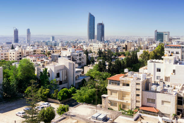
Amman city view, in Jordan
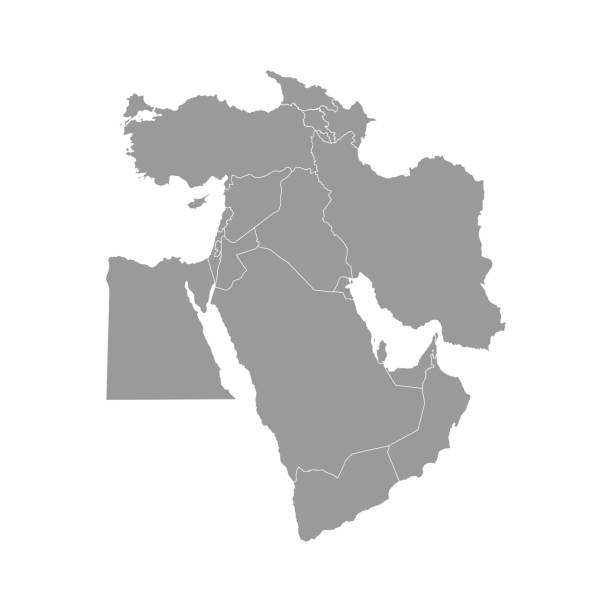
Vector illustration with simplified map of Asian countries. Middle East. States borders of Turkey, Georgia, Armenia, United Arab Emirates, Saudi Arabia, Qatar, Oman, Iran, Israel. Grey silhouette

The flag of Jordan, shooting in the ancient stone city Petra, on the red rock background, close-up, outdoors. Copy space.

Black basic map of Jordan with flag against white background The url of the reference to political map is: http://legacy.lib.utexas.edu/maps/middle_east_and_asia/jordan_pol_2004.jpg Layers of data used: flag, map
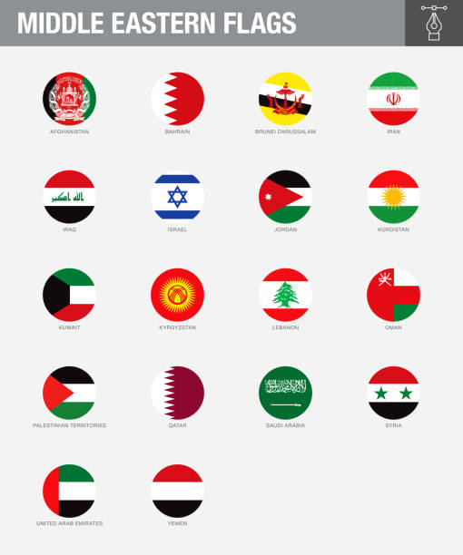
A set of Middle Eastern country flags. Drawn in the correct aspect ratio. File is built in the CMYK color space for optimal printing, and can easily be converted to RGB without any color shifts.
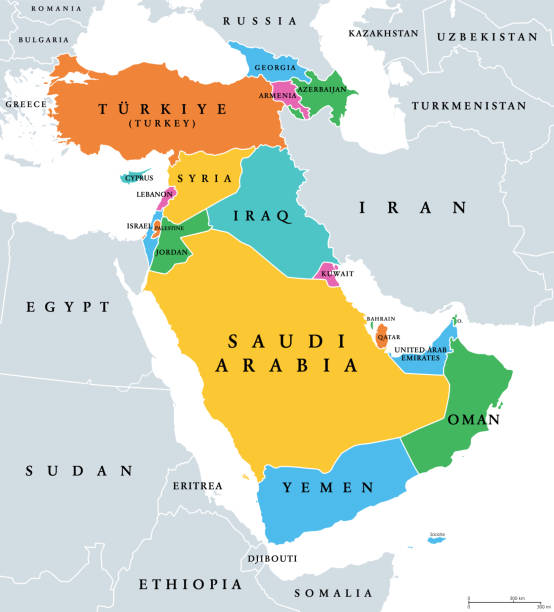
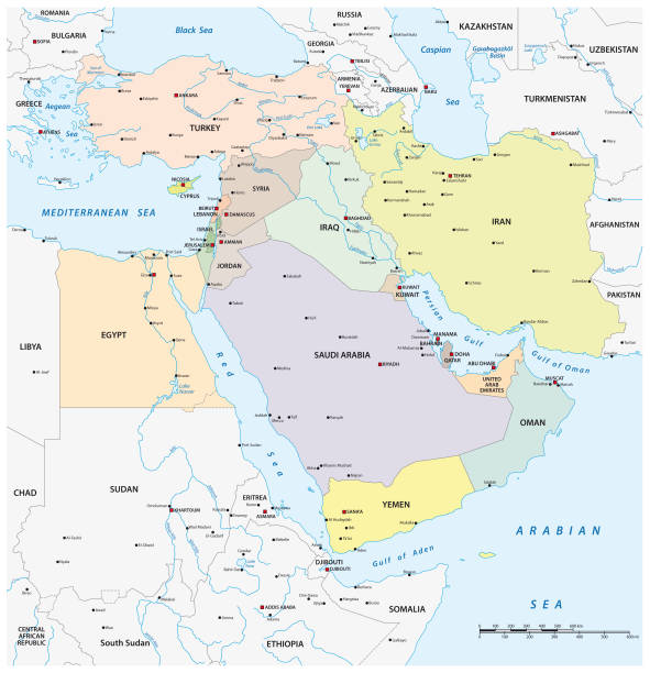
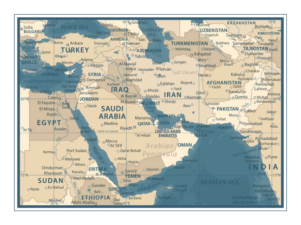
Western Asia, geoscheme and political map. Subregion of Asia, used for statistical purposes, covering geographical regions spanning from Anatolia, Caucasus, Levant, Mesopotamia till Arabian Peninsula.
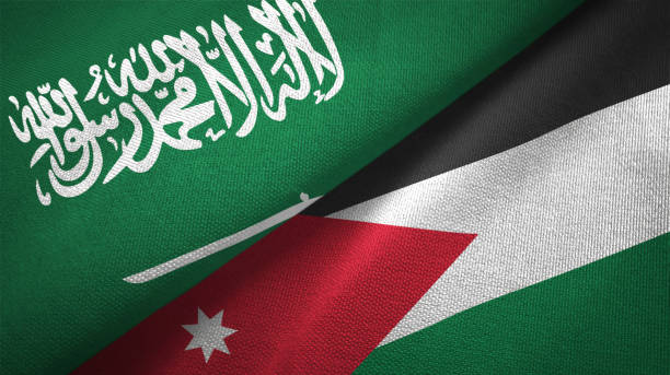
Jordan and Saudi Arabia flags together textile cloth, fabric texture
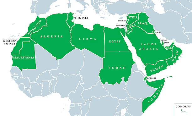
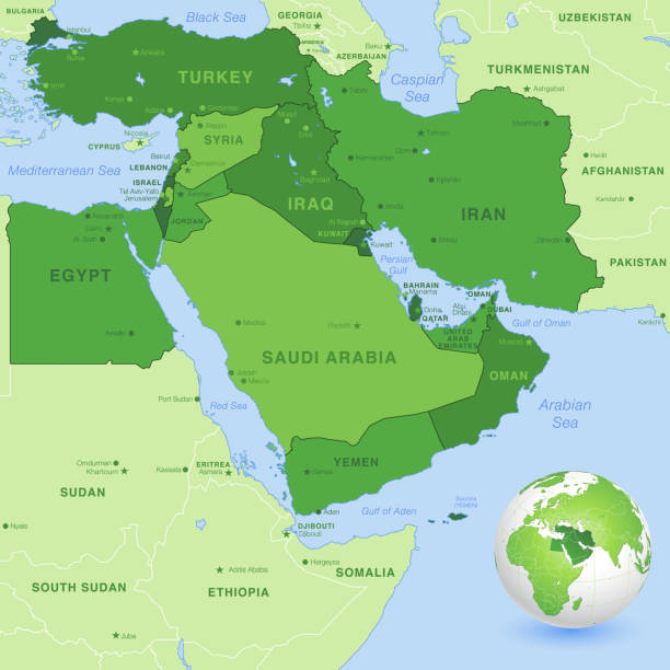
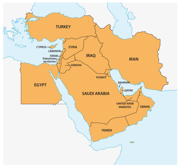
Arab World political map, also called Arab nation, consists of twenty-two arabic-speaking countries of the Arab League. All nations in green color, plus Western Sahara and Palestine. English labeling.
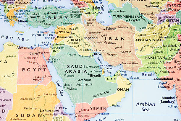
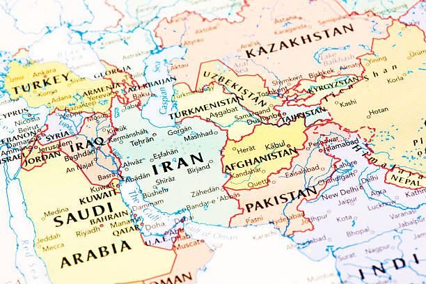
High detail map of the Middle East Zone, with a 3D Globe centered on Middle East.
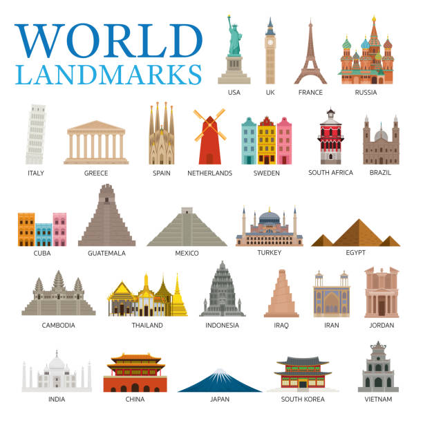
Famous Place and Historical Buildings, Travel and Tourist Attraction
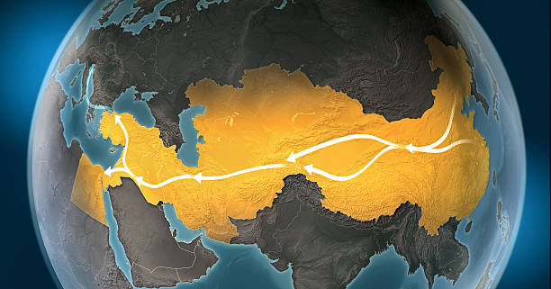
Map of Silk Road, a network of overland routes that connected China to Middle East and Europe through Central Asia. The road network was used in the past centuries by merchants trading goods and silk between distant countries and cross-continental regions. Marco Polo, an italian explorer, is believed to have travelled the route in the 13th century. Geopolitics, commerce and diplomacy connected to history and geography. Map is blank, without country names. Map is for illustration puroposes only, country grouping and current borders status may differ.

Neom, gray political map. Saudi megacity being built in the Tabuk Province of northwestern Saudi Arabia, North of the Red Sea and across Gulf of Aqaba. Planned as a smart city and tourist destination.
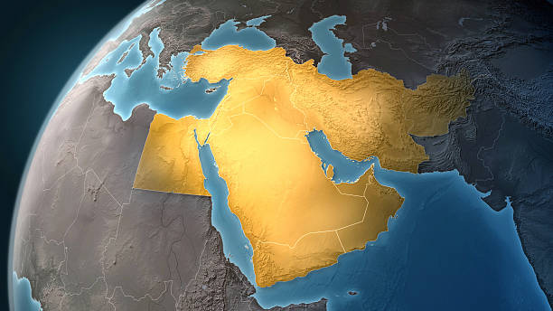
Map of Middle East on a Earth globe, looking west to Europe. Turkey, Syria, Lebanon, Israel, Jordan, Egypt, Saudi Arabia, Yemen, Oman, Qatar, United Arab Emirates, Kuwait, Iraq, Iran and Afghanistan are the main focus. Countries are highlighted in yellow, while seas are deep blue and land are brown gray. Europe and North Africa are also included in the frame, together with Mediterranean Sea and Persian Gulf. Physical and geographical features are visible. Geopolitics and diplomacy connected to history and geography. Map is blank, without country names. For illustration puroposes only, country grouping and current borders status may differ.
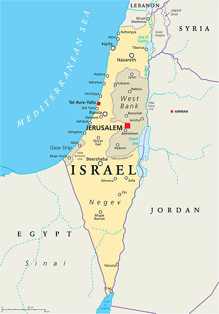
Israel political map with capital Jerusalem, national borders, important cities, rivers and lakes. English labeling and scaling. Illustration.
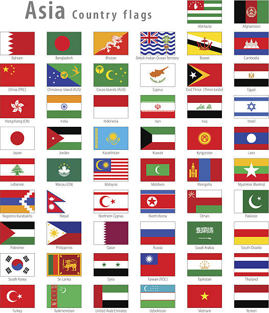
Full set of all Asian countries High Quality Vector National simple flags

Iraq and Jordan, two flags waving against blue sky. 3d image
Vector Illustration World Flags

King's road in mountain and Al Mujib dam on Wadi Mujib river (River Arnon)
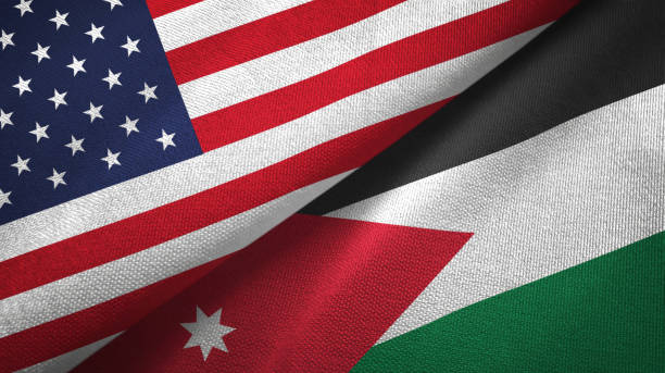
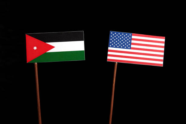
Jordan and United States flags together textile cloth, fabric texture


http://dikobraz.org/map_2.jpg
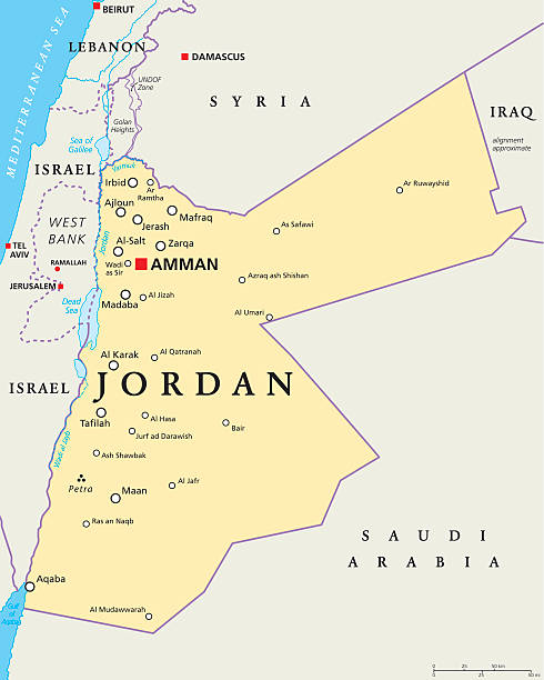
Jordan political map with capital Amman, national borders, important cities, rivers and lakes. English labeling and scaling. Illustration.
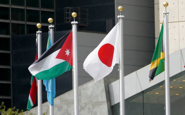
New York, United States. September 22nd 2016 - International Flags in the front of United Nations Headquarter in New York
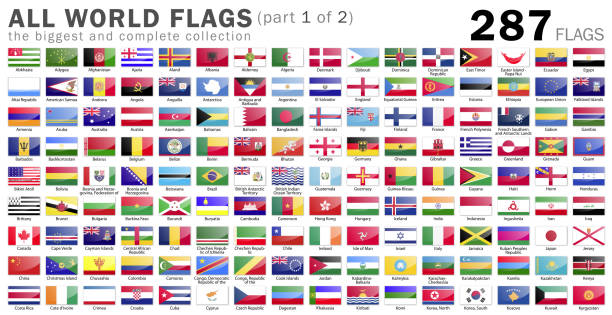
All Vector Illustration World Flags
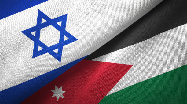
Jordan and Israel flags together textile cloth, fabric texture

Eastern Mediterranean Political Map with capitals national borders, important cities, rivers and lakes. English labeling and scaling. Illustration.

A Jordan map on white background with clipping path to remove shadow 3d illustration

Jordan flag waving cloudy sky background realistic 3d illustration

Tunisia and Jordan, two table flags on white background. 3d image


South Korea and Jordan, two flags waving against blue sky. 3d image
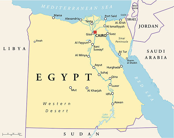
Political map of Egypt with capital Cairo, national borders, most important cities, rivers and lakes. Vector illustration with English labeling and scaling.
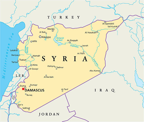
Political map of Syria with capital Damascus, national borders, most important cities, rivers and lakes. Vector illustration.

Vector flag of the Hashemite Kingdom of Jordan. Proportion 1:2. The national flag of Jordan. Vector EPS 10

Official national flag in button icon shaped

Jordan and United Kingdom flags together textile cloth, fabric texture
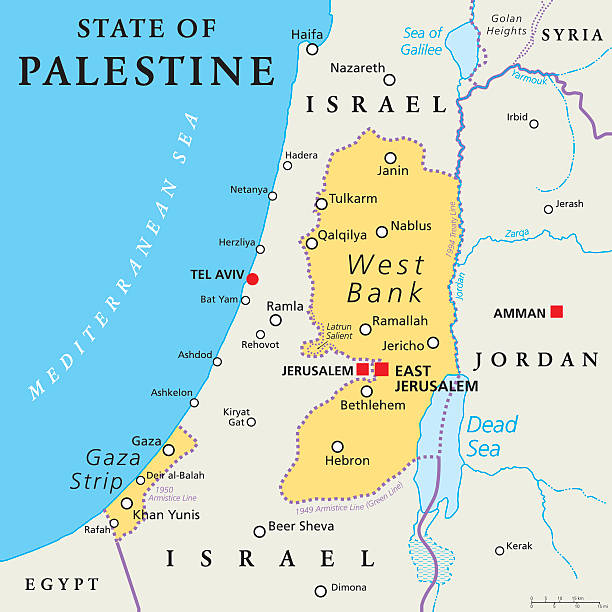
State of Palestine with designated capital East Jerusalem, claiming West Bank and Gaza Strip. Political map with borders and important places. Most areas are occupied by Israel. English labeling.
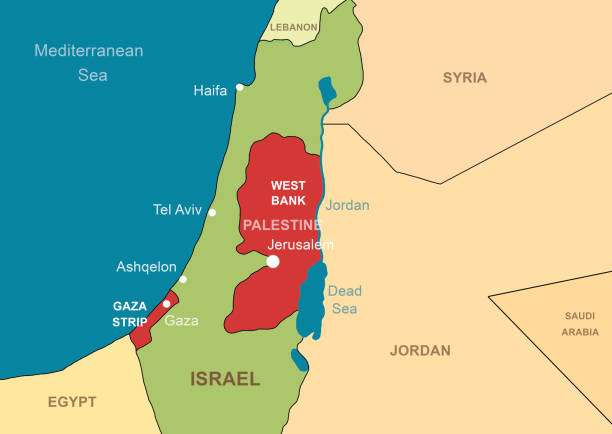
Israel and Palestine in Middle East on contour map. Palestinian territories of Gaza and West Bank. Jerusalem and Jordan River on outline map. Theme of Israel, war, conflict.
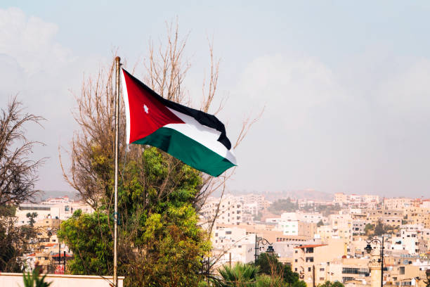
tricolor flag of Jordan on the background of the old poor of the city and blue sky

Jordan - detailed country outline and location on world map. Vector illustration


Capitals, Famous Place, Buildings, Travel and Tourist Attraction
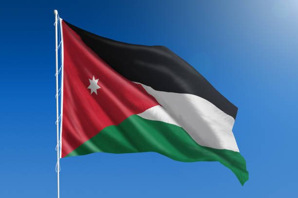
The National flag of Jordan blowing in the wind in front of a clear blue sky

the flag of Palestine on the mountain on the background of the houses in the city. Middle Eastern architecture.

Israel political map with capital Jerusalem and neighbors. State of Israel, a country in Middle East with Palestinian territories West Bank and Gaza Strip. Illustration with English labeling. Vector.
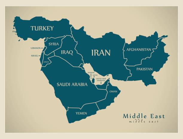
Middle East Map - Vintage Detailed Vector Illustration

Jordanian flag three dimensional speech bubble background.

Germany and Jordan, two flags waving against blue sky. 3d image
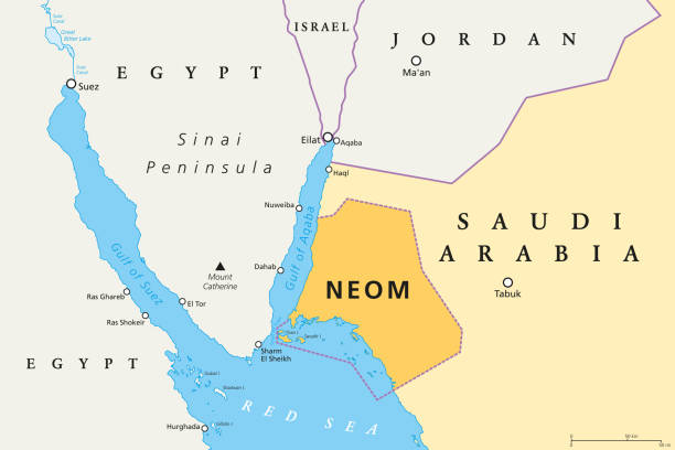
NEOM political map of the 500 billion dollar megacity project in Saudi Arabia along the Red Sea coast. Location of the smart and tourist city with autonomous judicial system. English labeling. Vector.

Jordan Blank Vector Map Isolated on White Background. High-Detailed Black Silhouette Map of Jordan.

Cityscape of Amman, the capital and most populous city of Jordan
Next