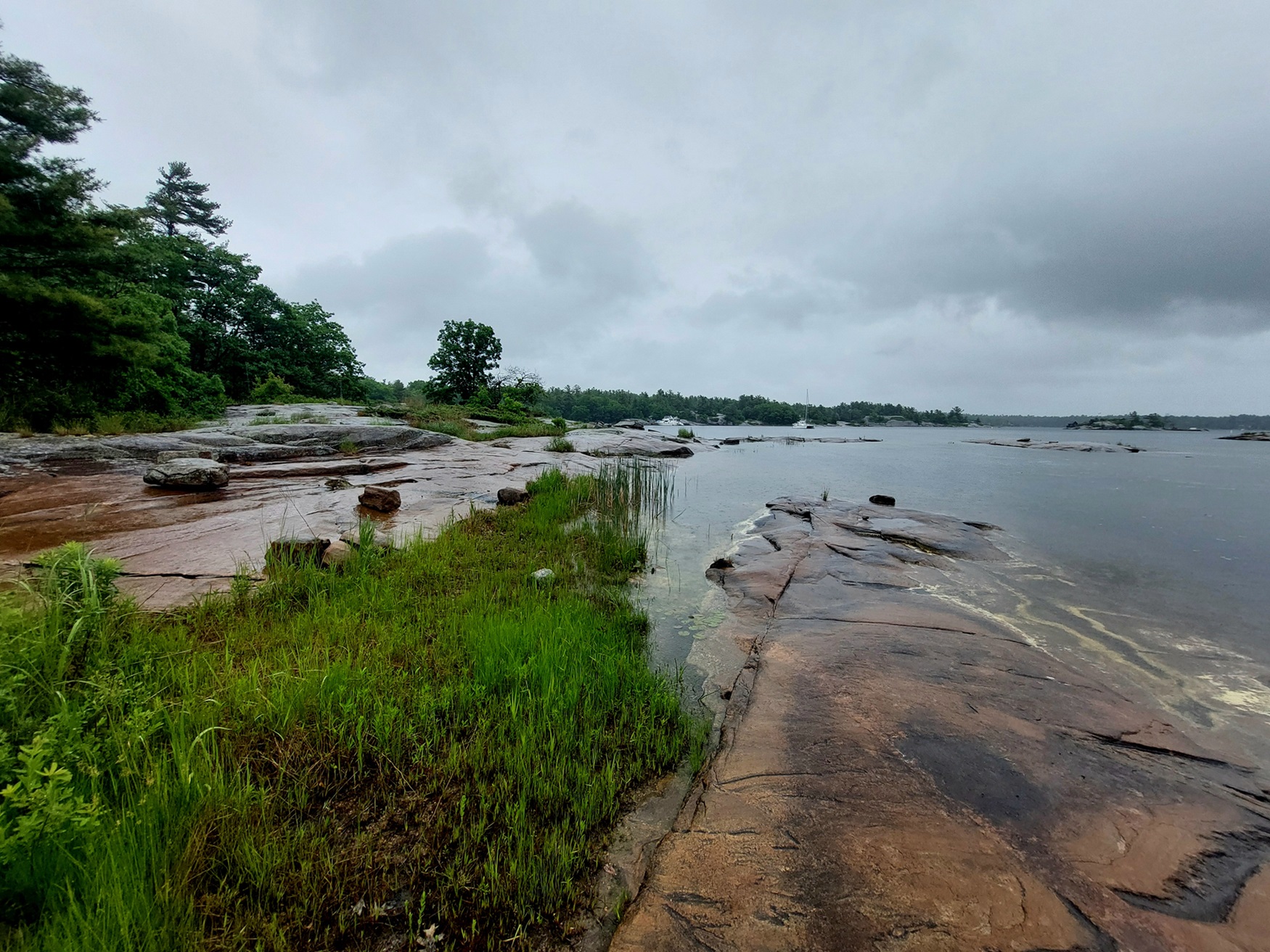
Georgian Bay is the northeast arm of Lake Huron in southcentral Ontario. It is shielded from the lake by the limestone spine of the Niagara Escarpment, which extends in a great arc northwest up the Bruce Peninsula. The bay is fed from Lake Superior via the North Channel, between Manitoulin Island and the north shore, and independently by the Mississagi, Spanish, French, Magnetawan, Muskoka, Severn and Nottawasaga rivers. The strait between the Bruce Peninsula and Manitoulin Island is called Main Channel (25 km wide).

Description
In contrast to the west shore's soft, white limestone cliffs, the east shore is cut into the hard edge of the Canadian Shield, fractured into myriad bays, inlets and sounds, with thousands of islands strewn along the coasts. On the inner, southwest curve of Nottawasaga Bay are numerous sandy beaches, the longest of which is Wasaga. Around the bay (from southwest to northeast) are Owen Sound, Collingwood, Wasaga Beach, Midland, Port McNicoll, Victoria Harbour and Parry Sound; in summer, tourists greatly outnumber local residents.
History
Brûlé was the first European to see the bay (perhaps as early as 1610), and Champlain came via the French River (1615) to visit the Wendat, who lived on a small peninsula along the southeast shore (see Wendake). Jesuit missionaries came to the area in the 1620s, and Brébeuf was entrusted with founding a permanent mission in 1634 (Sainte-Marie Among the Hurons).
The bay also has a natural water connection, sometimes called the Toronto Passage, to Lake Ontario via Lake Simcoe and the Nottawasaga River. It was used by Indigenous Peoples and later during the War of 1812 when a military base was opened at Penetanguishene. Settlement followed the building of a railway from Barrie to Collingwood in 1855. Free land grants opened the area in 1868, but the soil is generally unfavourable to farming. The key industry of the late 19th century was logging; in 1890, Midland was second in production only to Ottawa. By 1900, most of the original forests had disappeared; the lumber industry had died, leaving behind slashed-over terrain and a few local mills. The fishing industry lasted longer. Immense quantities of whitefish, trout and pickerel were shipped out by rail until the 1950s. By 1960, the industry was virtually ruined by the Lamprey.
Called Lake Manitoulin by Captain William Fitzwilliam Owen, who charted the area in 1815, the bay was later decreed as part of Lake Huron and named for King George IV by Captain H.W. Bayfield's Admiralty Survey 1819-1822. Nearly as large as Lake Ontario, it is one of the world's great bodies of fresh water.
Present Day
Today, there are various secondary industries around the bay such as plastics, textiles, and shipbuilding. But the once-profitable grain-handling business diminished rapidly after the St. Lawrence Seaway opened. Tourism, based on the natural splendour of the Georgian Bay area, began in the 1850s with the arrival of the railway and is now the primary industry. Summer homes were built along the North shore in the 1880s, and thousands came after 1900 by train to Parry Sound and Midland, then by boat to the islands to fish, sail, and pitch tents - a pattern of vacationing repeated every year. The best-known areas are the North shore islands, the "Thirty Thousand Islands" on the east shore, Manitoulin Island, the amusement-park atmosphere of Wasaga Beach, the yacht harbour at Tobermory and the Martyrs' Shrine and reconstructions of Sainte-Marie and a Wendat village near Midland.

 Share on Facebook
 Share on X
 Share by Email
 Share on Google Classroom


