
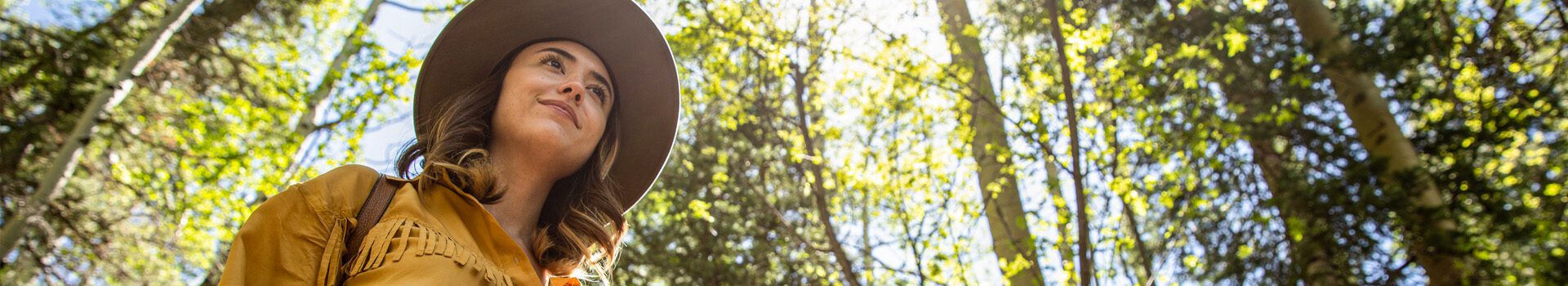
Carson National Forest
Some of the more popular hiking trails in the Carson National Forest are located in Taos Ski Valley. Below you will find trails in Carson National Forest that have printable maps. Click the map icon to download maps.
For more trails and more detailed trail information, visit the USDA trails website.
Day Hikes
Camino Real Ranger District
The Camino Real Ranger District is managed for many multi-use purposes; hunting, fishing, hiking, biking, skiing, snowmobiling, camping and personal firewood cutting are among the activities. The District manages many acres of the Carson National Forest. The District has more than 252 miles of trail, offering diverse terrain and dramatic landscapes for the skilled hiker.
| TRAIL | DISTANCE | LEVEL | ACTIVITIES | MAP |
| Devisadero Loop Trail 108 | 5.1 mile loop | Moderate | ||
| Elliott Barker Trail | 4.1 miles return | Easy to Intermediate | ||
| La Jara Canyon Trail FR#5 | 2.1 miles return | Easy | ||
| Middle Fork Trail 24 | 12.9 miles return | Moderate | ||
| North Boundary Trail 495 | 12.4 miles return | Difficult | ||
| Rio Chiquito Trail #121 | 5.9 miles return | Intermediate | ||
| Rito De La Olla Trail 438 | 4.6 miles return | Easy | ||
| San Leonardo Trail #30 | 2.8 miles return | Intermediate to Difficult | ||
| Serpent Lake Trail 19 | 6.4 miles return | Moderate | ||
| South Boundry Trail #164 | 20.1 miles return | Easy to Intermediate | ||
| Trampas Lakes Trail 31 | 5.5 miles return | Moderate | ||
| Valle De Los Romero Trail 13A | 1.2 miles return | Easy to Intermediate | ||
| West Fork Santa Barbara Trail 25 | 12.4 miles return | Moderate |
Canjilon Ranger District
The Canjilon Ranger District is located in the beautiful mountains of Northern New Mexico. The elevation ranges from a low of 6,500 feet up to almost 11,000 feet above sea level. Climate and vegetation types vary from high desert to alpine zones. The ranger district contains several hiking trails, including the Continental Divide National Scenic Trail. There are three campgrounds located on the ranger district. The ranger district office is located in the small mountain village of Canjilon which contains a population of approximately 325 residents.
| TRAIL | DISTANCE | LEVEL | ACTIVITIES | MAP |
| Burns Lake Trail | 3.9 miles return | Easy to Intermediate | ||
| Hart Canyon Trail #293 | 2.1 miles return | Moderate | ||
| Hidden Lake Trail #53 | 1.2 miles return | Moderate | ||
| Joaquin Canyon Trail #47 | 3.6 miles return | Moderate | ||
| Martinez Canyon Trail #49 | 9.1 miles return | Moderate | ||
| Rim Vista Trail #15 | 2.7 miles return | Moderate | ||
| Salazar Trail #14 | 2.7 miles return | Moderate | ||
| Vega Paz Trail #21 | 0.6 miles return | Easy |
Questa Ranger District
The Questa Ranger District is managed for many multi-use purposes; hunting, fishing, hiking, biking, skiing, snowmobiling, camping and personal firewood cutting are among the activities.
| TRAIL | DISTANCE | LEVEL | ACTIVITIES | MAP |
| Columbine – Twining N.R.T. Trail 64,69 | 14.2 miles return | Difficult | ||
| Columbine Canyon Trail #71 | 5.3 miles return | Moderate | ||
| Gavilan Trail #60 | 2.4 miles return | Moderate | ||
| Goose Creek Trail #65 | 5.5 miles return | Moderate | ||
| Horseshoe Lake/East Fork Trail #56 | 4.9 miles return | Moderate | ||
| Italianos Canyon Trail #59 | 3.5 miles return | Difficult | ||
| Lobo Peak Trail #57 | 10.7 miles return | Difficult | ||
| Long Canyon Trail #63 | 3.6 miles return | Intermediate to Difficult | ||
| Lost Lake Trail #91 | 4.0 miles return | Intermediate to Difficult | ||
| Manzanita Canyon Trail #58 | 2.1 miles return | Difficult | ||
| Middle Fork/West Fork Road Trail #487 | 2.0 miles return | Most Difficult | ||
| Midnight Trail #81 | 10.8 miles return | Difficult | ||
| Placer Fork Trail #72 | 4.4 miles return | Moderate | ||
| Sawmill Park Trail #55 | 3.6 miles return | Easy to Intermediate | ||
| Wheeler Peak Summit Trail #67 | 2.2 miles return | Difficult | ||
| Wheeler Peak Trail #90 | 7.3 miles return | Intermediate to Difficult | ||
| Williams Lake Trail #62 | 4 miles return | Easy to Intermediate | ||
| Yerba Canyon Trail #61 | 4.0 miles return | Difficult |